Through the scenery of Sachsen-Anhalt runs a fascinating route along which it is possible to discover the riches of Romanesque architecture. Established in 1993, it is the perfect showcase for Germany in the 10thand 11thcenturies
With Magdeburg as its centre, the Romanesque Route takes the visitor through the Middle Ages of Saxony-Anhalt, the frontier zone between 10thcentury Germany and the pagan Slavs and Magyars from the east. Covering the eastern part of Harzen, the route runs east of the silver mines near Goslar, upon which the wealth and power base of the Ottonian and Salian dynasties was built; but also the lush land along the river Elbe and its tributaries. Here Charlemagne established a series of fortified outposts. Later, some of these were turned into royal centres and bishoprics complete with royal palaces and monasteries. This was the heartland of the Saxon dukes.
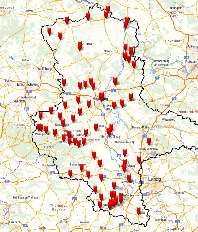
The route is organised as a figure-of-eight with Magdeburg at the centre of two loops. The route invites the visitor to explore a multitude of village churches, monasteries, cathedrals, and castles built between 950 and 1250. With 73 points of interest and 88 sites, the route covers more than a 1000 km and is not transversed in a few days. It does pay off, though, to follow in the footsteps of the 10th and 11th century itinerant Holy Roman Emperors as the route offers an insight into this heartland of medieval Germany.
The Romanesque Route is a partner of the Transromanica network, a major European Cultural Route since 2006.
VISIT:
Map with up-to-date information about the Route (2018):
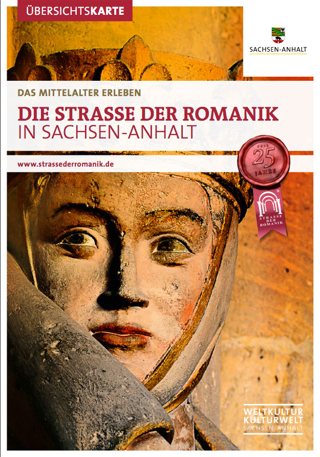
Die Strasse der Romanik in Sachsen –Anhalt
Read more about the route in German:
Faszination – Strasse der Romanik in Sachsen-Anhalt
The Route is also presented in a handy App
The post The Romanesque Route in Sachsen-Anhalt appeared first on Medieval Histories.
Powered by WPeMatico